
Davis ZIP Codes and Their Reach
Three ZIP code patterns matter for a Davis ZIP code directory search. 95616 is the main delivery area for central, west, and north Davis, downtown, and much of UC Davis. 95617 is a Davis PO-box range and should not be drawn as a neighborhood. 95618 reaches east and south Davis and El Macero delivery territory. USPS is the authority for a current address result, while a general city or ZIP list is only a starting clue.
| ZIP Code | Areas Covered | Post Office | Notes |
|---|---|---|---|
| 95616 | Central, west, north Davis, downtown, much UC Davis | Davis Main, 2020 Fifth; downtown alternate 424 Third | Delivery territory and PO boxes; campus residence halls use it |
| 95617 | Davis PO-box range | No separate retail office verified | Non-geographic; do not map as a neighborhood |
| 95618 | East and south Davis, El Macero delivery territory | Davis postal operation | Postal territory does not establish incorporated-city jurisdiction |
The table distinguishes delivery from place. A ZIP code directory can narrow a search, but the exact address still needs a USPS check and a GIS or parcel check when jurisdiction matters.
Davis 95617 ZIP Boundaries
95617 is a PO-box-only or PO-box-range pattern in the research, not a normal residential footprint. A record with 95617 can identify a delivery point without placing a person or parcel on a mappable street. That distinction matters for a Davis ZIP code directory because a PO-box clue cannot be carried into GIS as if it were a block.
Use a PO-box result for correspondence context. Ask USPS to verify a physical delivery address when a street, parcel, or jurisdiction is the real question. A tax bill, campus address, business filing, or directory entry can show a different mailing line. Keep the mailing role and the physical situs in separate fields.
- Delivery ZIP
- A five-digit routing area used by USPS for delivery, which can cross political boundaries.
- PO-box ZIP
- A ZIP code assigned to box delivery rather than a mapped residential area.
- Last line
- The city and state text USPS associates with the mailing address; it does not define a city limit.
The 2004 Davis ZIP Code Change
El Macero is the documented continuity trap in Davis ZIP code research. The preferred postal last line changed from El Macero to Davis on April 8, 2004. Part of the territory shifted from 95616 to 95618 on July 1, 2004. A historical search that covers that interval should test both ZIP and last-line forms rather than treating a change as a move.
The change also shows why postal and civil geography must be compared. A 95618 Davis mailing line can belong to El Macero delivery territory without establishing that the parcel lies inside the incorporated City of Davis. Carry the street address to the public GIS viewer, then preserve the APN and annexation or sphere-of-influence layer when the boundary question matters.
| April 8, 2004 | Preferred last line changed from El Macero to Davis. |
|---|---|
| July 1, 2004 | Territory shifted from 95616 to 95618. |
| Search practice | Use both ZIP and city-line forms around the transition date. |
Verify a Davis ZIP with USPS
The official USPS ZIP Code Lookup is the first check for a current Davis address. Enter the street, city, and state as USPS expects, save the returned five-digit ZIP, and note whether the result is a physical delivery point or a box route. Do not infer a ZIP from a nearby street or a general Davis mailing list.
USPS answers delivery routing. It does not identify a property owner, voter, occupant, or city jurisdiction. After the postal result, use Yolo GIS for city, county, annexation, and parcel layers, then carry the APN to the tax or deed record. This sequence keeps a ZIP code directory from becoming a mistaken person directory.
The official lookup screen provides the exact-address verification step for a Davis ZIP code search.
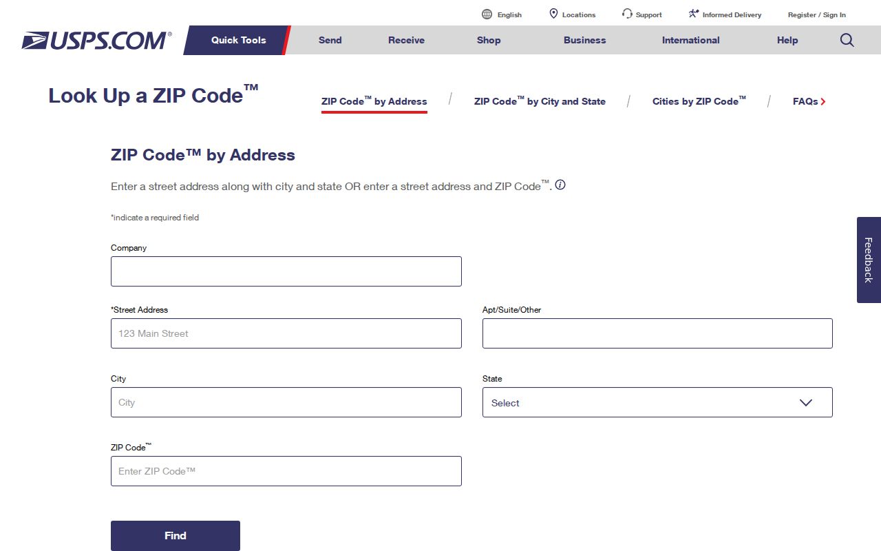
The USPS result is the postal answer. The assessor, recorder, and GIS supply different answers about the same address.
Davis ABC ZIP Code Search
The California Department of Alcoholic Beverage Control license lookup is a documented ZIP-capable public search. It can report licenses by ZIP, city, county, county and census tract, or statewide, with license type. Its fields include license number, licensee, business address and city, business name, and report mode. This is useful for slicing a commercial identity by ZIP, but it does not create a list of Davis residents.
A licensee, DBA, business address, agent, or professional address is a public business role. The role may connect a name to a postal area without showing a home or parcel. Keep the license date and open the issuing agency's record when status, discipline, or license type matters.
The linked ABC source shows how a ZIP-filtered public portal differs from a resident roll.
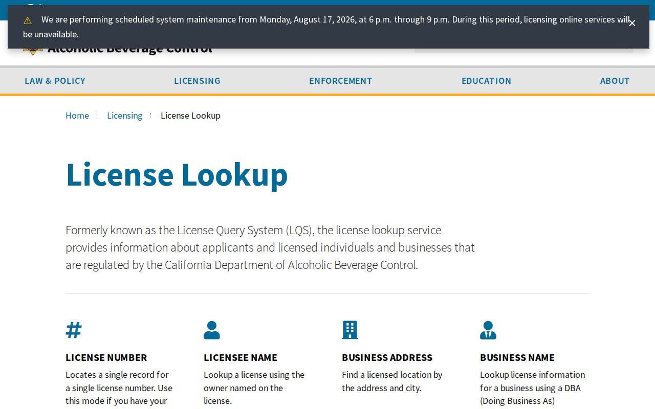
The result is a business-location clue, not proof that a person lives in that ZIP code.
| License number | Exact license identifier. |
|---|---|
| Licensee or business | Name fields for the license record. |
| Address and city | Public business location, which may not be a residence. |
| ZIP, county, or tract report | Geographic filter for licenses, not a household list. |
| License type | Category that narrows the public result set. |
Finding Davis Records by ZIP Code
Few Davis records accept a true ZIP-wide resident filter. USPS verifies an address. ABC can report licensed businesses by ZIP. GIS can show parcel and boundary layers when the appropriate data layer is available. The Yolo tax inquiry is address or fee-parcel based, and the public Assessor screen is APN-forward. Research did not verify a ZIP-wide assessor or voter filter, so do not promise one.
- Verify the exact street address and current ZIP with USPS.
- Check the GIS parcel, city limit, annexation, and sphere-of-influence layers.
- Use ABC only when the question concerns a licensed business in a ZIP.
- Carry the address or APN into Yolo tax, assessment, deed, and permit sources.
- Once the ZIP narrows the geography, use the Davis street directory for parcel and street work.
A ZIP code directory is most accurate when the ZIP is treated as one field in a larger evidence record rather than as a substitute for a parcel or city boundary.
Four Davis ZIP Fields to Keep Separate
Several geographic labels can appear on one Davis record. Treating them as synonyms creates false matches. A legal description identifies title continuity. A situs identifies the physical taxed parcel. A mailing address tells an office where to send correspondence. A ZIP code routes mail. The same person, business, or parcel can carry different values in each field.
- ZIP versus ZIP+4
- A five-digit delivery area versus a nine-digit extension that narrows routing within that area.
- Carrier route
- A postal delivery sequence inside a ZIP code, not a political district or household list.
- Unique ZIP
- A ZIP assigned to a single institution or organization, distinct from ordinary neighborhood delivery.
- Situs
- The physical parcel location used by tax or assessment records.
- Legal description
- The lot, block, subdivision, or other title description that can survive a street-number change.
These definitions are why a Davis ZIP code directory should lead to the right custodian rather than claim that a postal label proves residence.
Davis ZIP Lines vs City Limits
ZIP codes are delivery constructs. Census ZCTAs are statistical approximations. Neither one is the incorporated City of Davis boundary. UC Davis, El Macero, postal Davis, county land, and city land can overlap in a reader's mental map while remaining different record geographies. Use Yolo GIS for jurisdiction, annexation, and planning layers. Use the assessor and recorder for parcel and title facts.
95616's campus and central-city reach does not turn every 95616 address into the same land or public-record category. 95618's El Macero territory is the clearest example of a Davis mailing line that needs a boundary check. 95617's box range cannot be plotted as a block. If a historical record uses a former postal label, keep the old and new values together with the event date.
Boundary check. A ZIP code can locate a delivery route. It cannot, by itself, establish incorporated-city jurisdiction, parcel ownership, voter residence, or household membership.
Use Davis ZIP Code Context, Then Stop
A strong Davis ZIP code directory entry ends with the next source, not a guessed name. USPS answers the current postal assignment. GIS answers parcel and jurisdiction geometry. Tax and assessment records answer permitted roll fields. The Recorder answers a recorded party or instrument. ABC answers a licensed business. Voter status answers one authenticated person. Each result has a custodian, date, and access boundary.
Write the ZIP, city line, address, APN, situs, mailing field, source URL, and observation date into the research note. If the goal becomes “who owns this parcel” or “who lived along this street,” move to the street and address records rather than stretching the ZIP result past what it can show. That discipline keeps postal geography useful for Davis family, parcel, and civic research.
When a historical source uses a former city line, retain the earlier label instead of silently replacing it. A dated postal change can explain why two records look different while describing the same Davis-area place.