
Looking Up Davis Neighbors Around One Address
A block-level Davis neighbor lookup uses sources with different strengths. GIS shows parcel geometry and districts. Tax and assessment records can identify a permitted owner or taxpayer for a resolved APN. The Recorder can show title history for an individual parcel. Permits and CPRA files add building or change history. A voter file is restricted-purpose data, not a public block list. Associations can provide public contacts and neighborhood context without publishing a member roster.
| Source | What It Shows About a Block | Access |
|---|---|---|
| Yolo GIS | Parcel geometry, streets, districts, annexation and adjacency | Free map viewer |
| Tax and assessment | Assessee, owner role, mailing clue, values by APN | Web, counter, phone, paid products |
| Recorder | Title history for each resolved legal parcel | Free index; copies paid |
| Permits and CPRA | Building work, inspection, and public record contacts | Portal or focused request |
| Voter records | Authenticated self-status or qualified file result | Restricted by purpose |
| Neighborhood associations | Public boundaries, contacts, events, and issues | Voluntary community channel |
Owners and occupants are not the same category. A titled party may live elsewhere, a mailing address may be outside Davis, and a voluntary association may include people who are not recorded owners. The block evidence should say exactly which role a source supports.
Map Davis Neighbors from One Parcel
The Yolo public GIS viewer is the right first map for Davis neighbors. Search or zoom to the address, enable Parcels and Address Points, click the subject polygon, and record the APN or displayed name field. Then pan to touching polygons, parcels across an alley, corner lots, and nearby greenbelt or path edges. GIS layers include road centerlines, jurisdiction and sphere-of-influence boundaries, annexations, precincts, school and fire districts, zoning, land use, flood, and Davis planning information.
- Verify the physical address and postal line before opening the map.
- Click the subject parcel and save its APN, address point, and jurisdiction layer.
- Click each touching or practical-neighbor parcel separately; do not copy one owner across a development.
- Carry every APN to the permitted Assessor or Tax route for its own roll fields.
- Use the Davis street directory only when the question expands to a whole named street.
Parcel geometry can define “next door” more accurately than a street number, especially around Davis greenbelts and paths.
Formal Davis Neighbor Labels for a Block
Yolo County's paid products can help when a formal adjacent-owner label is needed. Research lists property characteristics at $6.75 per parcel, a radius labels or search report for up to 150 labels at $90, labels at $8 per page, a computer report at $150, and research at $123 per hour in 15-minute increments. Confirm current rates and the exact product before ordering. These products remain assessment or tax evidence, not an occupant roster.
The free map and APN route are often enough for a family-history or parcel question. A radius report is more appropriate when a defined distance or adjacent ownership set needs the county's paid output. Keep the report date, parcel list, mailing fields, and any exclusions. A condominium common parcel, trust, LLC, or multi-parcel development can defeat a simple address-to-person assumption.
The Attorney General's public-records guidance explains the separate CPRA route when an existing city record is needed.
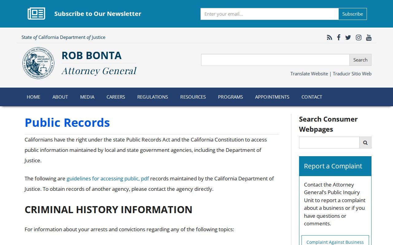
Public access still depends on the custodian's role and exemptions. A formal owner product should not be rewritten as a list of everyone on the block.
| Approach | What It Can Do | What It Cannot Establish |
|---|---|---|
| Official GIS and tax records | Map parcels and permitted roll fields | Every current occupant or household member |
| County radius product | Return a defined owner-label or parcel report | Actual presence or private contact data |
| Commercial compilation category | Offer unverified public-data leads at its own terms | Certified title, current residence, or authoritative block proof |
Davis Neighbor Associations as Community Context
The City of Davis reports 17 neighborhood associations. The program supports meeting space, notices, and community communication, but the research did not expose an authoritative list of all names or public membership rosters. Associations arise around development, parks, traffic, code concerns, social activity, and neighborhood issues. They can include owners and other residents, but they are voluntary community channels rather than government rolls.
Do not substitute a Davis association contact for the person connected to a parcel. The city page links outward to community sites and listservs, and a public contact may only represent an organization. The formation route described in the research includes a core group, outreach or survey, bylaws, a noticed neighborhood vote or board election, and an annual meeting.
| Neighborhood Services | City of Davis, 23 Russell Boulevard, Suite 1 |
|---|---|
| Public contact | 530-757-5602; cmoweb@cityofdavis.org |
| Public role | Association boundaries, notices, events, and issue context |
| Not provided | An exhaustive public resident or membership roster |
Davis Voter Rules Limit Neighbor Searches
California's authenticated My Voter Status tool confirms the individual who signs in. It asks for first and last name, full birth date, and a driver's license or identification number or the last four Social Security digits. Its output can include address, party preference, election information, vote-by-mail or provisional status, and county contact. It does not provide an ordinary public Davis neighbors list.
Restricted voter-file access is governed by Elections Code sections 2188, 2194, and 18109, Government Code section 7924.000, and 2 CCR sections 19001-19013. A qualified election, political, scholarly, journalistic, or government applicant must state a permissible purpose, beneficiary, security plan, and requested data. Commercial use is prohibited, and a request for unidentified people on a street is specifically outside the allowed formulation. Do not use voter data to fill gaps in a block map.
Greenbelts Change Davis Neighbor Geography
Davis's physical layout can make social and map adjacency differ. Village Homes and other greenbelt areas connect homes through paths, while a rear parcel, alley, or corner lot may be close without sharing the next street number. UC Davis and El Macero also show why a Davis postal line, campus edge, and incorporated-city boundary are not one geography.
Define the neighbor set before searching: touching parcel, same numbered block, across an alley, across a greenbelt, same association area, or same postal segment. Then use GIS for geometry and the tax or deed route for each parcel. A ZIP code is a delivery clue, not a buffer. A map layer can show a boundary, not a private household relation.
- Touching parcel
- A parcel that shares a boundary with the subject parcel.
- Practical neighbor
- A nearby home reached across a path, greenbelt, alley, or common area.
- Jurisdiction layer
- A GIS boundary for city, county, annexation, district, or sphere of influence.
UCC and Entity Records Near Davis Neighbors
Property near a Davis block may be held by an entity, and a name in a filing may be an agent or secured party rather than the owner of a home. California bizfile's UCC search accepts a name of at least three characters or a file number and can return a debtor, secured party, filing number, and free filed-document copy. The result is a filing relationship, not a neighborhood roster.
Use the UCC screen only when a business or filing question explains the parcel research. For a natural person, compare the entity number, agent role, filing date, business address, and APN or deed source. The Secretary of State does not claim that its web search holds ownership data. A business address also may be a professional or mailing location rather than a Davis residence.
The California UCC source shows why entity records can add context around a block without answering who lives there.
Read debtor, secured party, agent, and owner as separate roles, then return to the parcel custodian for title facts.
DROP and Protected Davis Neighbor Addresses
Some Davis neighbors will not appear in ordinary address research because California provides confidentiality protections. Safe at Home supplies a substitute address for qualifying victims and certain threatened public employees, with publication limits under Government Code section 6208.1. The voter file withholds protected information, and DMV and utility or delivery records are not lawful public substitutes. Actual occupants, roommates, children, and group-quarter residents may also be absent.
The Delete Act's DROP platform launched January 1, 2026, and registered brokers began processing requests August 1. A California resident can submit a profile once to more than 600 brokers, track a DROP ID, and use additional identifiers for matching. DROP targets commercial broker holdings. It does not delete Yolo deeds, court cases, assessment rolls, or GIS parcels.
The California DROP privacy source below explains a current deletion path for broker-held data, not a government-record purge.
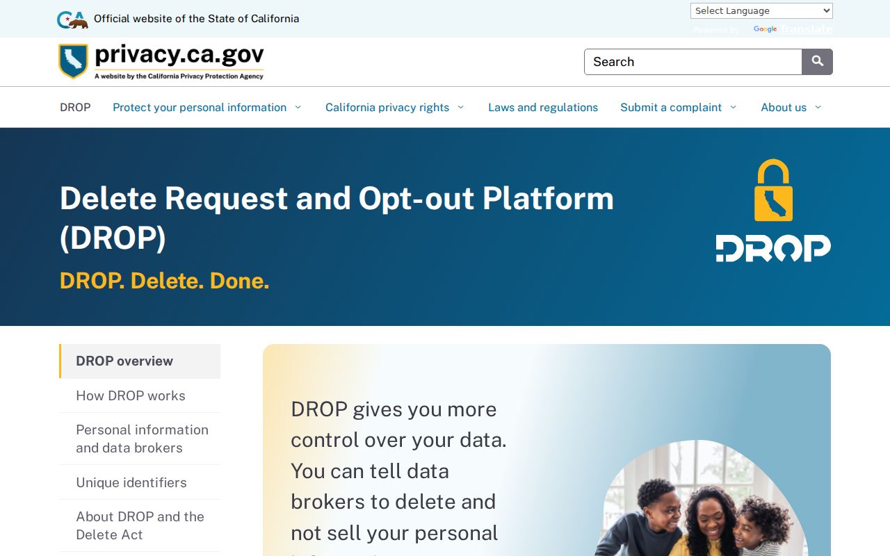
Respect a protected address or missing household entry. Privacy is part of what a responsible Davis neighbor lookup must leave alone.
Privacy Limits on a Davis Neighbor Lookup
Official rolls and commercial neighbor tools answer different questions. An official GIS or assessment result has a custodian, field definition, and date. A commercial compilation may merge public filings and identifiers, charge for access, or carry stale matches. Neither category automatically proves a current occupant, and a public fact does not authenticate a message, caller, payment demand, or contact request.
Use a Davis neighbor lookup for parcel curiosity, family history, community context, reconnecting, or personal safety awareness. For a formal record, verify with the Assessor, Recorder, court, city office, archive, or association contact that holds it. If a result is wrong, correct the originating source. If a search would expose a protected person or private household detail, stop.
Lawful use. Neighbors research must remain personal and lawful. Do not use a block map, owner label, court result, voter record, business filing, or privacy-leak lead to stalk, harass, intimidate, or harm another person.
The block around an address is a geography with partial public records, not a complete list of people. Label the boundary, source, date, and role each time.