
Walk Davis Streets by Address
A Davis street directory search works best as a chain. Begin with a postal address, but do not assume that the street spelling, city line, or next number identifies the correct parcel. Resolve the address in the tax inquiry or public GIS, record the APN, and then use that stable key across the assessment roll, deed index, permit history, and archive sources. A street can include corner parcels, rear lots, greenbelts, and paths that do not fit a simple number sequence.
- Verify the address in the Yolo tax inquiry or USPS, then save every matching situs and APN.
- Open the Yolo GIS viewer, turn on parcels and address points, and click the subject polygon and nearby polygons.
- Carry each APN to the Assessor or Tax Collector route for the permitted owner, mailing, value, exemption, and latest-deed fields.
- Use the Recorder's Grantor and Grantee fields to trace a transfer or lien, using legal description when the street label changes.
- Add permits, census, yearbooks, newspapers, or a confirmed historical directory entry only when the date and role fit the question.
Davis Records You Can Reach by Street
The Davis street directory route crosses sources that are address-keyed, parcel-keyed, or party-keyed. The tax inquiry can search an address string. GIS supplies geometry and jurisdiction layers. The Assessor connects an APN to permitted roll fields. The Recorder is not a street keyword search, so it becomes useful after a party, date, document type, or legal parcel is known. City permits can date work at an address, but a permit applicant or contact is not necessarily the owner or occupant.
| Record Set | Keeper | What It Shows | Access |
|---|---|---|---|
| Tax inquiry | Yolo Tax Collector | Address or fee-parcel bill results | Free web search |
| Assessment roll | Yolo Assessor | APN, assessee, situs, mailing clue, values | APN web; counter or phone |
| GIS parcel map | Yolo public GIS | Parcels, address points, annexation and districts | Free viewer |
| Deeds and liens | Yolo Clerk-Recorder | Recorded parties, dates, legal description | Free index; copies paid |
| Permits and inspections | Davis Building Division | Work, inspection dates, applicants and contacts | Portal, counter, CPRA |
| Historical directories | UC Davis / Yolo Archives | Dated affiliation or past address lead | Catalog and reading room |
The APN is the bridge from the street to the parcel. It does not turn an owner into a confirmed resident. For one-person identity work, the Davis resident lookup route adds court, vital, license, and name-variant checks.
Yolo Assessor Fields for a Davis Address
The public Yolo Assessor inquiry is an APN-forward screen. Research did not verify a public owner-name search, so a name typed into a general search box should not be presented as the normal route. A parcel or location is the safer start. At the public terminal or by limited telephone disclosure, the office can provide current ownership, mailing address, APN, latest deed, assessment, values, exemption, revenue district, and net taxable value within its stated limits.
The roll separates the situs, which is the physical taxed location, from the mailing address used for correspondence. A mismatch can suggest an absentee taxpayer, but it does not identify who is at the parcel. The image source for the county's assessment guidance is linked before the capture below.
Yolo's assessment-roll guidance describes the fields and public-terminal route used for a careful Davis address search.
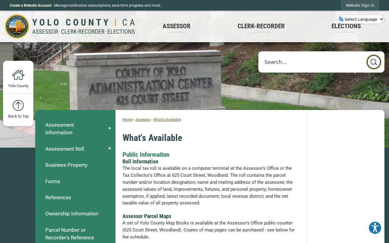
The assessment view is useful for parcel identity and dated roll facts, but it is not a public list of every Davis person at a street address.
| FEE PARCEL | Required text criterion in the public Assessor inquiry; use the assessment parcel number. |
|---|---|
| Search by | Required selector with Property Address or Fee Parcel. |
| Search Type | “Begins With” is documented for the tax inquiry; do not assume other modes. |
| Search Criteria | Required address string or 12-digit assessment number. |
The Yolo Assessor parcel inquiry is the APN-forward public screen behind the address-to-parcel step.
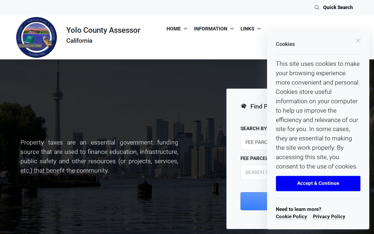
Use the parcel number as the bridge to the permitted roll fields, then keep mailing and situs evidence separate.
Davis Tax Search and Address Normalization
The Yolo tax inquiry gives the Davis street directory its closest documented whole-street browse. Select Property Address, choose the documented “Begins With” search type, and test the address without a full street suffix when the portal's instructions call for that form. Try directional abbreviations consistently. Save the result list and compare duplicate-looking strings before moving to a parcel or deed record.
Search by address can return a bill or parcel clue, not a household roster. Corner parcels, a separate mailing address, a multi-unit site, and an old number can all change the result. Once the APN is known, the address string becomes a label and the parcel and legal description become the continuity keys. A street directory built from only one spelling is likely to miss a part of Davis's grid.
The county tax interface demonstrates the address and fee-parcel route used for street research.
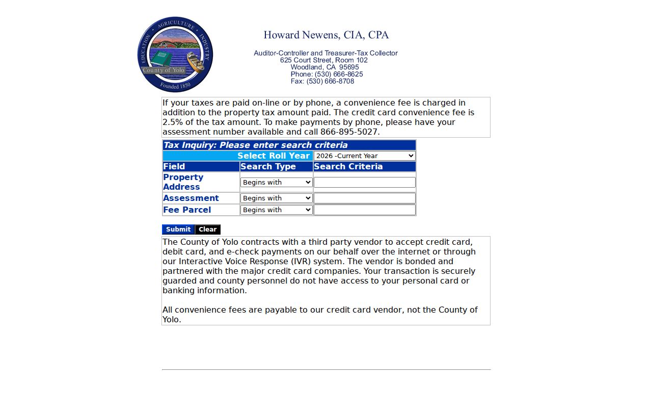
The result should be carried into GIS and assessment records rather than treated as proof of occupancy.
Yolo GIS Layers for Davis Parcels
The Yolo public GIS viewer supplies the map step. Its documented layers include tax parcels, road centerlines, address points and grid lines, jurisdiction and sphere-of-influence boundaries, annexations, precincts, school, fire, and supervisor districts, zoning, land use, flood, and Davis planning information. The county warns that parcel lines may not align perfectly with flood, census, or aerial sources.
Search or zoom to the address, enable Parcels and Address Points, click the subject polygon, and write down the displayed APN or name field. Then pan to touching parcels, across an alley, and around a greenbelt or path. The viewer supports measurement, printing, sharing, and layer changes. A user-facing buffer tool was not verified, so formal radius labels should come from the county's paid products instead.
The public map makes the geometry behind a Davis street directory visible before names are carried into a tax or deed search.
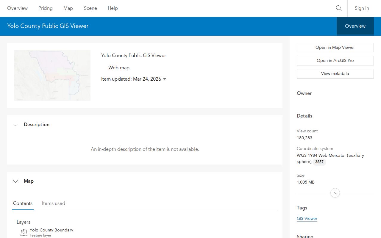
GIS establishes parcel adjacency and jurisdiction. The Assessor and Recorder remain the sources for their own record fields.
Davis Deed Index and the Title Trail
The Recorder's grantor-grantee index is party-keyed. Start with an APN, current roll name, or known instrument, then isolate the acquisition deed by document type, date, and legal description. The recorded-document search guidance explains the searchable categories and the office kiosk route. A recorded copy can show grantor, grantee, instrument number or book and page, document type, recording date, legal description, and redacted public-copy details.
A deed proves a transfer of title, not residence. A lien, map, or easement may touch a Davis parcel without naming an occupant. Use the legal description when a street name or number changed, and keep the instrument reference for a copy request. Regular copies may be emailed after the office process; certified copies are mailed. The county's cart does not take payment, so call the Recorder with the reference and payment details.
The Yolo recording coverage page shows how a street lead becomes a party and instrument search.
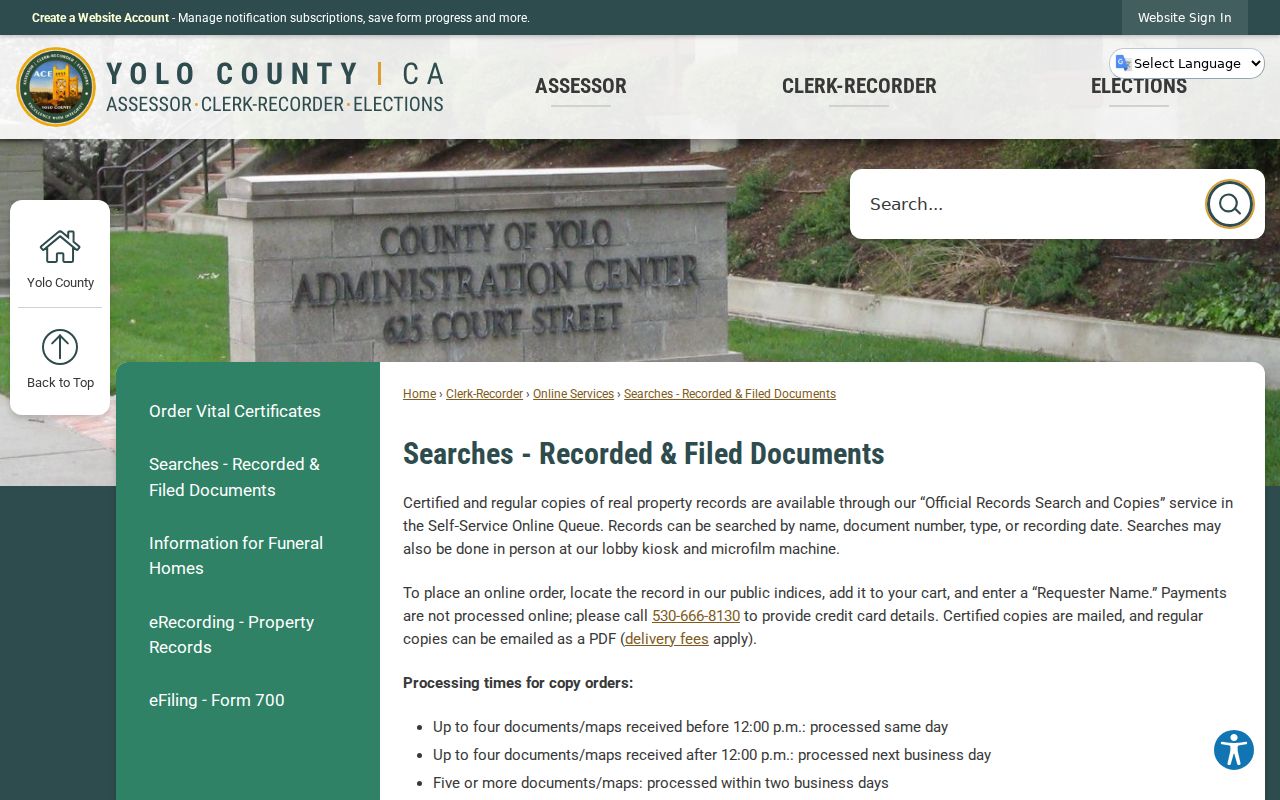
Use the index for discovery and the Clerk-Recorder for the underlying copy. The second image comes from the county's broader recording information page.
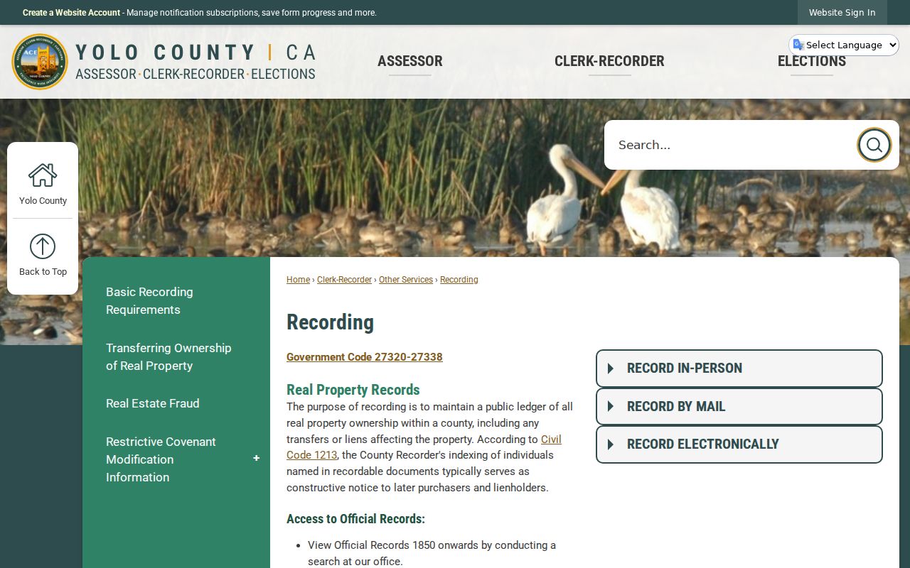
That coverage note is important when a Davis address history reaches beyond the remote index.
The Davis 1960/1970 Index Cutoff
Two Yolo pages describe remote coverage differently. The Recording page says web grantor-grantee indexing begins in 1960. The Official Records page says official-record indices begin in 1970. County holdings and deed books extend from 1850 to the present. Do not average the statements or imply that a web result is exhaustive. Record the version you used, check the live portal, and move to the Woodland lobby kiosk, microfilm, or deed books for the earlier interval.
Room B-01 is the practical fallback for images and older index work. The Recorder's phone is 530-666-8130 for process and copy questions, but staff do not perform a broad chain search. Arrive with party variants, date range, document type, APN, legal description, and any book-page or instrument reference. The county says updates or corrections generally appear within three business days, and automated scraping is prohibited.
Davis Permits Date Work, Not Occupancy
The Davis permit portal can expose scheduling, inspection, and status information tied to an address or permit number. Building Division records may identify an applicant, owner, contractor, project, issue or inspection date, plans, and correspondence. Historical coverage and the complete public result-field set remain unverified, so older gaps should be handled through a focused City Public Records Act request.
Inspection requests use the permit number, type, address, site contact and phone, plus a morning or afternoon window. The public contact route is 530-757-5658, text 844-304-4064, or cddweb@cityofdavis.org. A permit contact is a role attached to a project. It should not be rewritten as the person who lives at the address. Permits are valuable for dating construction, remodeling, and neighborhood change.
For a present Davis street directory, pair permit dates with the parcel, deed, and dated directory evidence. That combination explains a place without claiming more than the records show.
Davis Street Names, ZIPs, and Jurisdiction
Davisville began in 1868 and Davis incorporated on March 28, 1917. Downtown uses numbered east-west streets and lettered north-south streets, while later subdivisions use named and curving streets. The historic label “Davisville” belongs in searches for pre-1917 catalogs, newspapers, and archive descriptions. Sanborn, subdivision, annexation, and legal-description evidence can explain why one parcel appears under different address wording across time.
A Davis mailing line can also cross a jurisdiction boundary. ZIP 95616 serves much of central, west, and north Davis and much of UC Davis. ZIP 95618 reaches east and south Davis and El Macero. ZIP 95617 is a Davis PO-box range, not a mappable neighborhood. Postal geography, incorporated city limits, campus land, county service areas, precincts, and school districts are separate layers. The Davis ZIP code directory handles those distinctions in detail.
Preserve the old street form beside the current one when a house history crosses an annexation, subdivision, or postal change. That small step helps the Davis street directory connect a modern APN to an older map or archive citation.
Davis Street Directory Boundaries
A Davis street directory cannot publicly list every person at every number. Actual occupants, roommates, children, dorm or group-quarter residents, utility customers, delivery records, and protected participants may not appear. DMV address information is protected by the Driver's Privacy Protection Act. The public voter tool confirms only the authenticated user's own record, and a qualified voter-file applicant cannot convert a lawful purpose into an unidentified street roster.
- Parcel
- A mapped land unit identified by an APN and legal description.
- Situs address
- The physical location taxed or mapped for the parcel, distinct from its mailing destination.
- Plat
- A recorded map that lays out lots, blocks, streets, or easements.
- Criss-cross directory
- A historical address-order section, if a librarian confirms a Davis edition and its coverage.
Lawful use. Street and parcel records support personal research, family history, and civic curiosity. Do not use a Davis street directory to stalk, harass, intimidate, or harm another person.
When the goal shifts from a whole street to one name, stop at the role and date that the record actually supports. A current titled party, old directory entry, and permit contact can all be true without being the same resident.